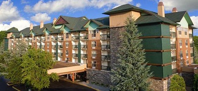
Satellite Map of the Spirit of the Smokies
As you look down on the Satellite Spirit of the Smokies Map what stands out is its close proximity to many of the attractions in Pigeon Forge. On one side you have the Parkway giving you quick access to the fun around the area and on the other is the start to Teaster Lane which takes you to Dollywood in just a few miles. About a 1,000 feet away, in front of the Hollywood Wax Museum, a covered waiting spot for the Fun Time Trolley awaits your arrival. If you are not familiar, this is the inexpensive transportation used to get guests where they need to go in the Pigeon Forge or Gatlinburg attractions.
From Asheville
- Distance: 89.3 miles
- I-40 W toward Canton/Knoxville
- Take exit 432A to merge onto US-25W N/US-411 S/US-70 W toward Sevierville
- Turn left onto US-411
- Turn left onto Veterans Blvd
- Turn right onto Collier Dr
- Turn Left on the Parkway
- U Turn at Tester Lane
- The Spirit of the Smokies will be on your right
From Knoxville
- Distance: 33 miles
- I40-E for approximately 17.5 miles
- Take exit 407 toward TN-66 S/Winfield Dunn Pkwy
- merge onto TN-66 S/Winfield Dunn Pkwy
- U Turn at Tester Lane
- The Spirit of the Smokies will be on your right
How to get to Dollywood from Spirit of the Smokies Lodge?
A couple of options to consider if you want to get to Dollywood. The first would be to take the Fun Time Trolley in front of the Wax Museum. If you don’t really want to take this public transportation, you can always take your car and head up Teaster Lane – right beside the Spirit of the Smokies, turn on Veterans Blvd and follow the signs. Dollywood is less than 4 miles away from your location.


